|
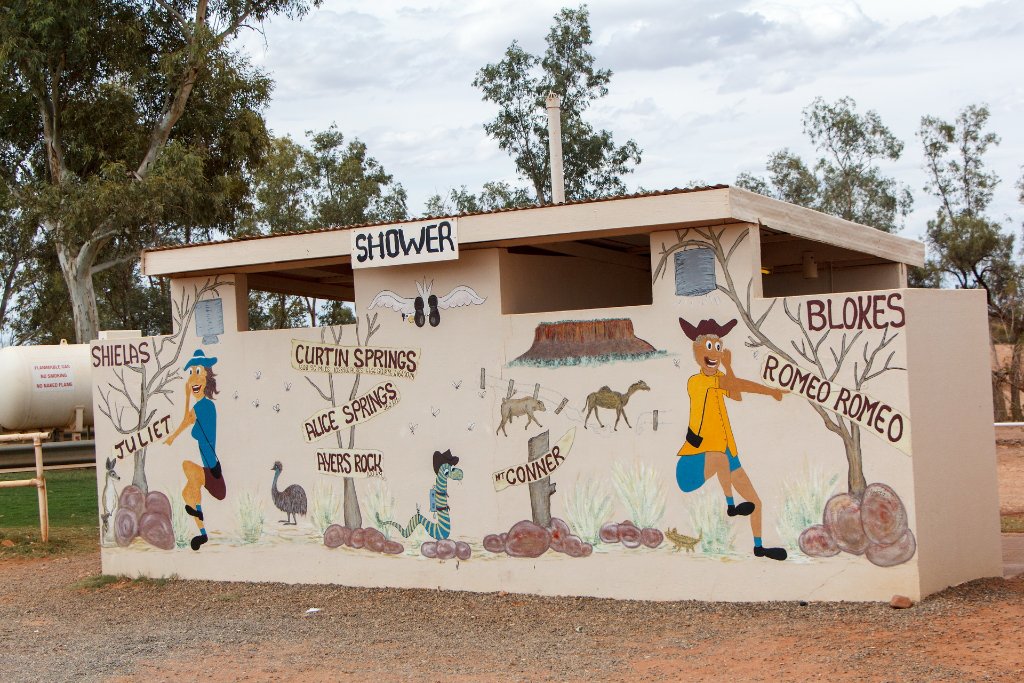 |
| 06-Toilet at Curtin Springs Cattle Station | |
| Latitude: S 25°18'54,07" | Longitude: E 131°45'24,17" | Altitude: 497 metres | Location: Curtin Springs | State/Province: Northern Territory | Country: Australia | Copyright: Ron Harkink | See map | |
| Total images: 19 | Help | |